
Adrian Neighbors by Block
Public records can describe the parcels around an Adrian address, but each source answers a different question. Lenawee GIS is the starting point for parcel shape, TaxID, streets, subdivisions, and map layers. The assessment route can add a property or tax record. A deed index documents a transfer, and a historic criss-cross directory can place a head of household at a street number in a given year. Those are not interchangeable facts. An owner, taxpayer, grantee, and occupant may be different people, and no one record proves that every person connected to a block lived there.
| Source | What It Shows About a Block | Access |
|---|---|---|
| Lenawee GIS parcel map | Adjacent parcel geometry, streets, TaxIDs, subdivisions, and available map layers | Public county map; search and parcel click; reference map only |
| BS&A property route | Property, assessment, tax, building, and related records associated with an address | Public route; live field coverage requires confirmation |
| Register of Deeds index | Recorded transfers, legal descriptions, and recording dates for individual parcels | Public index; images and copies may have portal or fee requirements |
| QVF / voter route | Lawfully released registration information at documented government or election geographies | MVIC or QVF request; sensitive fields are restricted |
| Historic directories and newspapers | Past street-number associations, notices, and local context | Library or archive; year and publication-specific |
Start with the address, not a name. It keeps the block question within the geographic record that can be checked. A property record may list a mailing address that belongs to a trust, estate, agent, or owner elsewhere. A deed identifies parties to a legal instrument, not all occupants. For a historic entry, preserve the street number, year, publication, and the printed role rather than converting it into a present-tense claim about Adrian neighbors.
Adrian Parcel Clues Before Names
The county directs property researchers through Property Assessment Information and the BS&A public route. Search by parcel number, property address, or owner name in Last, First order. The published surface lists Address, Name, Parcel Number, utility billing, building record, tax, special assessment, and other categories. Capture the situs address and TaxID first. A situs address is the physical location of the parcel, while a mailing address is where the record is sent. That distinction matters when comparing the block around an address.
Assessment figures also need their own labels. Assessed and taxable values are not the same, and neither automatically reports a sale price. A homestead indicator can support an owner-occupancy tax classification, but it is not proof of day-by-day presence. The current public instructions do not document a ZIP field or a broad block export. Use the address and TaxID as the search keys, record the tax year, and avoid turning one owner field into a list of Adrian neighbors.
Map Adrian Neighbors by Parcel
The Lenawee County Mapping/GIS page leads to the county map and its official search guidance. The documented search fields are TaxID, Address, Owner, Subdivision, and Lots. Results appear while the user types. Clicking a result or parcel opens a layer-specific information section. For an immediate block question, start at one known address, zoom outward, and click the parcel shapes on each side and across the street. The published guide does not document a radius or buffer tool, so it is not accurate to promise an automated neighbor-radius export.
- Search the known address in GIS and copy the returned TaxID and situs address exactly.
- Zoom out enough to see the surrounding parcels, then open each parcel separately and note only the source fields needed for the question.
- Use the TaxID or address in BS&A to compare the assessment or tax record, preserving the tax year and any mailing-versus-situs distinction.
- For a recorded transfer, search the relevant party in the Register of Deeds index and compare its legal description with the parcel.
- Move to a historic directory or newspaper only when the goal is a dated household or block-history question.
This process is deliberately parcel by parcel. County GIS can lag after a transfer, and the county warns that maps are reference maps rather than certified surveys. For a whole named street and its longer chain of records, use the Adrian street directory rather than extending a block check beyond its useful scope.
Adrian GIS Search Fields
TaxID is the strongest local map key when an address has multiple formats. The county’s guidance shows examples such as RL0-136-1100-00 and says results may be located by Address, Owner, Subdivision, or Lots as well. Copy punctuation and leading characters carefully. The TaxID contains township and section or subdivision context, while map labels such as 0000, WATR, and ROAD are placeholders rather than real parcels. That small distinction prevents a false match before any comparison of Adrian neighbors begins.
- TaxID
- Links a map result to a specific parcel record, not to a complete household roster.
- Address
- Finds a mapped situs address and nearby shapes, not certified boundary or survey information.
- Owner
- Offers an owner-name search path with spelling variants, not proof of current physical presence.
- Subdivision or lots
- Helps distinguish a mapped lot or plat context, not membership in a neighborhood directory.
The map also maintains roads, rivers, political features, aerial photography, topography, and other agency data. Its Gallery and Maps filters can locate printable map versions. Keep the access date with any map image or note, because an apparent boundary or transfer status may change as the maintaining unit updates the data.
Adrian Voter Geography Limits
Michigan voter registration records are public in broad outline, but they are not a simple neighborhood roster. The official Michigan Voter Information Center is the public-facing route for registration and election information. For a formal record request, the QVF process identifies state, county, jurisdiction, district, school, village, ward, precinct, and election-history choices. ZIP is not a documented selection on the captured form, so a ZIP-wide or block-wide voter list should not be assumed.
Lawfully released fields may include name, public residence or mailing address where not protected, year of birth, registration date, status, voter ID, and released history. Driver or state-ID number, month and day of birth, phone, email, signature, initial registering office, and refusal-to-register information are protected. Request the smallest geography needed, preserve no raw roster, and do not infer household composition, political beliefs, or party affiliation from a voter record. Note: A public address can still carry a safety risk and may be protected by a statutory exemption.
Adrian Community Directory Limits
No official City of Adrian neighborhood-association directory, homeowner-association member directory, block-watch roster, or umbrella civic-council directory was found in the inspected sources. That negative result matters. Private member lists should not be assumed public, and a library or club mention does not authorize publishing member names. The safe public route is an institutional contact point or a voluntarily published notice, not an attempt to reconstruct a private roster.
| Community path | What research verified | Public directory status |
|---|---|---|
| City of Adrian neighborhood associations | No verified association name in the inspected official pages | No public member directory located |
| Homeowner and community associations | No verified Adrian-specific list | Private membership lists are not presumed public |
| Block watch and public-safety groups | No verified public roster | Ask only for public program information, not member names |
| Adrian District Library community route | Public local-history and community contact point | Institutional contact, not a neighborhood roster |
Official parcel records and commercial neighbor tools are not the same kind of evidence. The county map, assessment route, and deed index identify a custodian and an access date. Commercial tools can combine stale property, directory, or user-supplied data and are not authoritative records. For community history, the Adrian Heritage Room is a better public discovery point for documented local materials than an unverified block list.
| Official record route | Commercial neighbor tool category |
|---|---|
| Names a Lenawee or Michigan custodian, the record series, and an access date. | May combine old public material, user-supplied data, or records from unclear dates. |
| Lets a researcher read the field label and distinguish owner, grantee, taxpayer, or listed household role. | May collapse different roles into one profile-like result. |
| Provides a direct correction or verification route through the agency or repository. | Does not replace the custodian’s original record or its access limits. |
Adrian Neighbor History in Print
A block’s earlier story often sits outside current portals. Adrian District Library describes the Daily Telegram Collection as running from 1893 to the present and notes other local newspaper archives back to 1849. Notices about moves, sales, civic meetings, obituaries, and local businesses can anchor an address or street at a point in time. The collection is evidence to inspect, not a shortcut to a present list of Adrian neighbors. Keep the publication title, issue date, page, and the role actually stated in the notice.
The Lenawee County Historical Museum adds street and address cards, house abstracts, maps, directories, and tax journals to the historic trail. Its local house guide identifies the August 1916 Sanborn book as a source with old and new street numbers. Compare that bridge with the directory year and deed legal description before deciding a household moved. This Adrian story-based evidence is strongest when paired with a dated parcel and a clear source citation.
Privacy for Adrian Neighbors
Public parcel and tax records do not list every household member. Utility customer and delivery information are not public directory fields, and motor-vehicle information is limited by the Driver’s Privacy Protection Act. Michigan’s Address Confidentiality Program can provide eligible survivors with a substitute address and mail forwarding. Do not use another source to defeat that protection. Birth, adoption, juvenile, victim, and many voter fields carry their own access limits as well.
The Michigan Attorney General’s guidance on recognizing scams is useful when an unexpected contact claims to sell a deed, court record, or address detail.
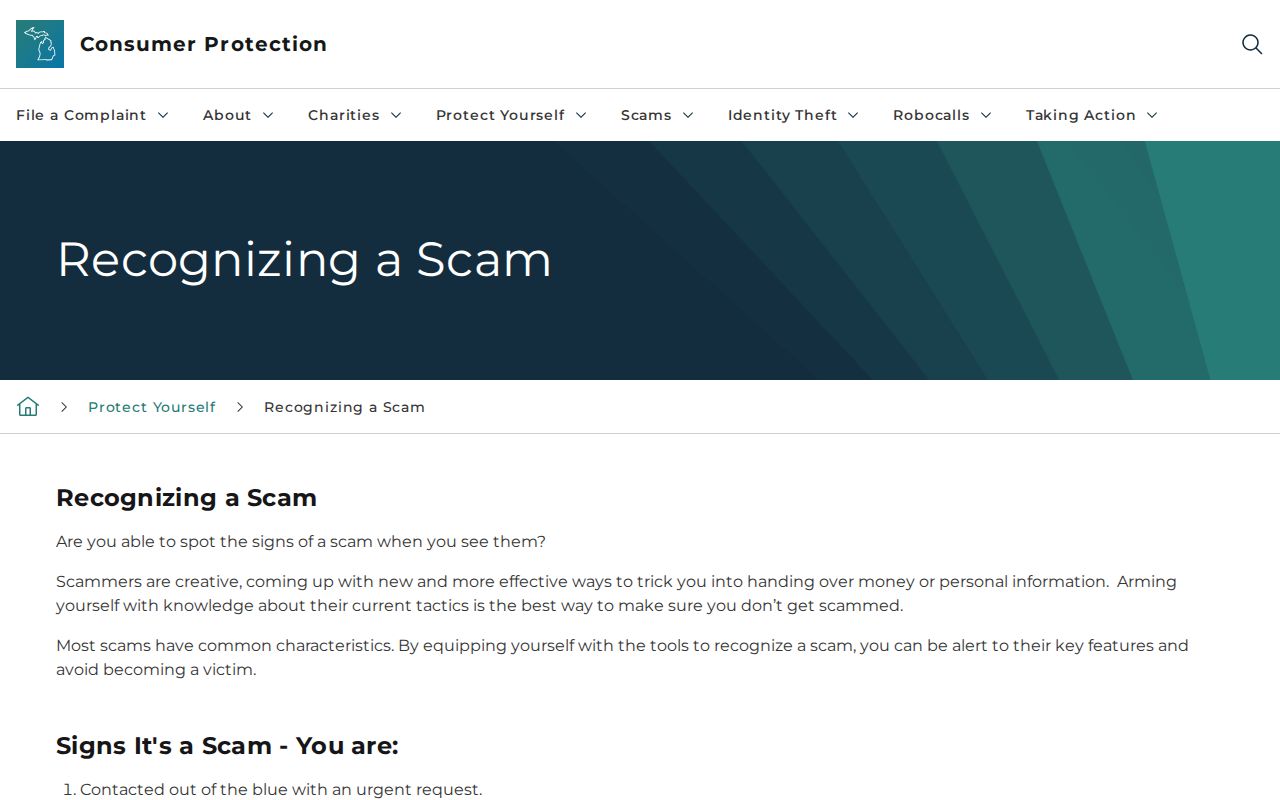
Use an official county or state contact route to verify the claim, not the phone number or link supplied by an unsolicited message.