
How an Adrian Street Directory Starts
An Adrian address search begins by fixing the address as it appears in the source and noting the date. The county property route can identify a parcel, while the parcel map can place that property on the correct block and jurisdiction. Those records are useful starting points, not a complete list of people in a home. The tax record may name an owner or an account holder. The owner may use a different mailing address, and that mailing address can belong to an agent, trust, estate, business, or an out-of-area contact.
For a current-to-historic Adrian street directory trail, move from the address to the TaxID, then to the legal description and recorded instrument. A voter record or directory entry can supply a separate address association when lawfully available, but neither establishes title. Keep a small log for each search: the address spelling, source date, record role, parcel or document number, and whether an image was inspected. That makes later comparisons much safer.
- Search the address in the county property route and note the situs address, owner field, mailing field, and parcel or TaxID.
- Open the same Adrian parcel in the county GIS map. Confirm the street, parcel shape, and jurisdiction before relying on a street label.
- Use the recorded owner as a grantee search in the deed index. Copy the document number, recording date, legal description, and prior-instrument reference.
- Search the earlier seller as a grantee to move backward through the transfer chain. Match the legal description or parcel reference at every link.
- For an older household, compare a year-specific street section or criss-cross directory with newspaper and census evidence rather than treating one listing as final proof.
Note: Adrian records often describe ownership, a public filing role, or a historic household, and those roles should not be merged into one claim.
Adrian Street Directory Property Fields
The Lenawee County property-assessment route sends users to BS&A Online for property and land searching. Adrian searches can use an address, parcel number, or owner name, with the county advising the Last, First pattern for owner searches. The exposed BS&A surface also lists building, tax, special-assessment, utility, and miscellaneous-record categories. A category can show a public record connected to an address, but the named applicant or account is not automatically a person who lived there.
| Adrian property field | Search use | Important reading rule |
|---|---|---|
| Address | Find a situs or street record | Try standardized suffixes and number variants |
| Name | Locate an owner record | Use the county’s Last, First format |
| Parcel Number | Connect assessment and map work | Keep all TaxID characters exactly as shown |
| Building Record Number | Find a public building record when exposed | An applicant may not be the occupant |
| Advanced Address Search | Use street address and number-from/to controls | Live coverage and exports need confirmation |
The county assessment instructions shown below are the official starting route for this part of an Adrian street directory search.
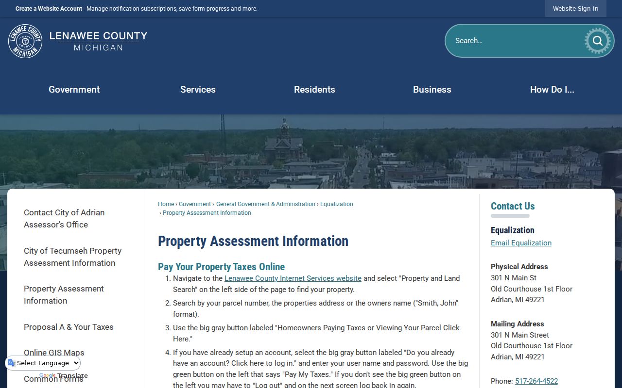
Use the image as a route to the search surface, then record the exact field labels and tax year returned for the Adrian parcel.
- Parcel
- A defined piece of land tracked by the assessment and mapping systems.
- Situs address
- The physical property address. It can differ from the owner’s mailing address.
- Plat
- A recorded map that divides land into lots, blocks, streets, or subdivisions.
- Criss-cross directory
- A reverse directory format arranged by street and number rather than only by surname.
Browse an Adrian Address in GIS
Lenawee Mapping/GIS supplies the map step of an Adrian address search. Its official how-to identifies TaxID, Address, Owner, Subdivision, and Lots as search fields. Results appear while a query is being entered and identify the matching layer. Select a result or click a parcel to open the layer-specific information area. To inspect a street, find one address, zoom out, and click the surrounding parcels. The county does not document a dedicated radius or buffer search.
The map also includes parcel, road, river, political-feature, aerial, topography, and other agency layers. GIS is a reference map, not a certified survey, and the county warns that transfers can lag. An Adrian street name on a map is therefore a locator. Confirm a transfer through the recorded instrument and confirm municipal jurisdiction when a postal address could reach beyond city limits. Printable map versions are reached through the Gallery and Maps filter in the county instructions.
Adrian Records Tied to an Address
Each Adrian address source answers a different question. Assessment data ties a name or account to a parcel. GIS gives the shape and TaxID. The Register of Deeds records a legal transfer. A year-specific directory can identify a historic head of household by number. Newspaper material can place an address in a dated public notice. Reading across those sources preserves the difference between owner, taxpayer, applicant, listed resident, and newspaper subject.
| Adrian address record | Custodian | Useful result | Access path |
|---|---|---|---|
| Assessment and tax parcel | County property route and municipal assessor | Owner or account, situs, mailing address, value, tax year | Address, name, or parcel search |
| GIS parcel | Lenawee Mapping/GIS | Parcel shape, TaxID, layers, road, subdivision | Public map with transfer-lag caution |
| Recorded deed | Lenawee County Register of Deeds | Grantor, grantee, date, instrument, legal description | Index, image access, vault, or deed books |
| Voter record | Michigan Voter Information Center or QVF request | Lawfully released public registration details | Protected fields remain withheld |
| Historic reverse directory | Library, museum, or archive | Street-to-household listing, where the volume has one | Year and publisher must be checked |
| Newspaper archive | Adrian District Library | Dated notices, moves, sales, obituaries, civic items | Inspect the page image and context |
The official Lenawee deed search is the legal-transfer step in that chain. Its search surface supports recorded-date, party-name, document, legal-description, and OCR approaches, but OCR is a lead rather than a substitute for the scanned instrument.
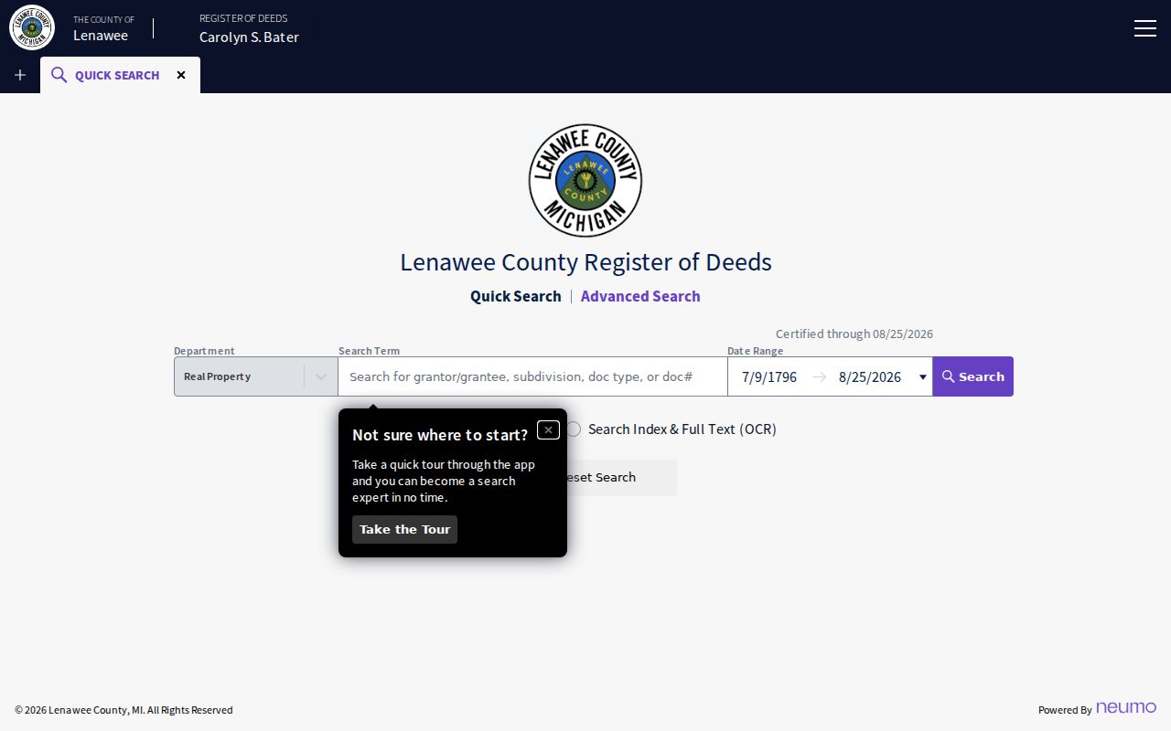
A deed result can connect an Adrian parcel to a recorded transaction, not to every person who may have lived at the address.
Adrian Address Numbers Before 1916
Adrian has one particularly important address-history check. The August 1916 Sanborn book includes old and new street numbers. A directory entry before that change and one after it can look like a move when the household never left the same structure. Before calling a break in the trail a move, compare the street section, the Sanborn notation, the parcel or legal description, and a contemporaneous newspaper item. This is a local address problem, not a reason to assume that a database is wrong.
Adrian Architecture’s collection links identify local Sanborn maps, early directories, and the 1897 Lenawee County Directory as research pointers. The listed years are collection leads, not proof of a continuous annual run. Capture the volume title, publisher if shown, street spelling, page or reel, and the date before tying an Adrian address to a household. Those details make a later correction possible.
Note: A historic address should retain both the source’s spelling and any standardized form used for a modern parcel search.
Adrian Address Museum Cards
The Lenawee County Historical Museum offers an important offline layer for an Adrian address history. The local house-research guide identifies street and address cards, SC survey cards, PP picture cards, house abstracts in Range #1, city and county directories, maps, and tax journals. These are research leads that can supply a date, owner sequence, architectural context, or an old address form. They should be checked against the underlying card, abstract, map, or document rather than repeated from a finding aid.
The archive is identified at 110 E Church Street, and the guide lists Friday and Saturday hours from 10:00 to 2:00 plus appointments, with current access to be confirmed. Start a focused request with the Adrian address, a date range, and any old number. The 2024 photography of City Tax Records is also a preservation lead. The research notes say volunteers can search the photographed pages, so ask the archive about current access, indexing, and permission before relying on the material.
Adrian Street Directory Newspaper Trail
Newspapers add dated context to an Adrian address record. The Adrian District Library describes the Daily Telegram Collection as running from 1893 to the present and identifies Adrian newspaper archives reaching back to 1849. Search a surname with a street, try initials and spelling variants, then search the address by itself. An article can show a sale, obituary, notice, civic event, business connection, or address change. It does not by itself prove an uninterrupted residence.
The Adrian District Library genealogy and local-history service also offers newspapers, census microfilm, directories, and a focused email-request route. A useful request names one person, event, or location and precise dates. For a street question, ask for a scan or a citation, then compare the page with the map and directory year. The newspaper trail is strongest when it supports, rather than replaces, an official parcel or deed record.
Adrian Addresses and 49221
A postal label is not a city-boundary decision. Adrian commonly uses 49221, yet that mailing area can serve addresses outside the City of Adrian. The USPS ZIP Lookup is the address-level check for a standardized mailing ZIP. Follow it with county GIS and the parcel jurisdiction when the question depends on whether a property lies within the city. Preserve the source’s mailing line instead of rewriting it as a municipal conclusion.
That distinction matters in an Adrian address search because county directories can include surrounding townships, and a deed legal description may not use the current street number. Search street suffixes, directional forms, units, old numbers, and township names as separate variants. The county GIS TaxID is often a stronger bridge than a ZIP label, but the map still needs the county’s transfer-lag caution. Keep the source date with each form of the address.
Limits of an Adrian Street Directory
An Adrian street directory cannot show every household member or provide a complete current occupancy list. A deed names parties to an instrument. A parcel account may identify an owner while the mailing address belongs to another contact. Historic directories often list a head of household and use year-specific conventions. Utility and delivery data are not public directory fields. Michigan voter material has protected fields, and the state’s public voter route should be used only within the lawfully released record structure.
Michigan’s Address Confidentiality Program provides a substitute address and mail forwarding for eligible survivors of domestic violence, sexual assault, stalking, human trafficking, or risk of harm. Do not use a different source to defeat a protected address. The federal Driver’s Privacy Protection Act also restricts motor-vehicle personal information. For a written public-record request, Michigan FOIA requires a sufficiently described record and generally provides a five-business-day response period, with a possible written ten-business-day extension. Court files follow their own access rules.
Lawful use. Adrian street research is for personal, historical, civic, safety, and property curiosity. Do not use an address record to stalk, harass, intimidate, or contact someone against their wishes.
The Lenawee County Register of Deeds also warns about unsolicited deed-copy letters. The county says a copy may cost as little as $2 depending on the request, while an outside letter may ask up to $83. Verify a claim through the official office before sending payment or personal information.
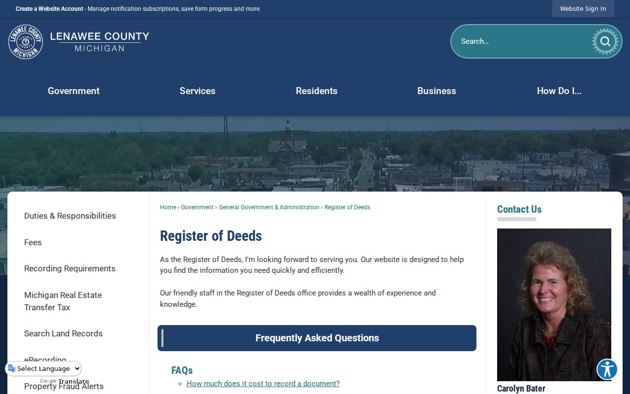
The official warning is a useful reminder that an Adrian deed copy should be confirmed through the custodian, not an unsolicited offer.
Adrian Address Confidence Checks
Label each Adrian result by what was actually inspected. A scanned deed or map is primary image evidence. A county search result is an official index until the image is read. A library catalog, museum guide, or collection list is an official finding aid. A local-history link can be a useful secondary lead that still needs the original record. This language prevents a neat address timeline from claiming more certainty than the source allows.
For each Adrian address, save the source URL or call number, source type, date or year, role shown, jurisdiction, access date, privacy review, and corroborating record. An empty portal result does not establish that nothing happened. The missing material may be in the Register’s research vault, deed books, library microfilm, museum cards, archive boxes, or a clerk terminal. That fallback chain is part of a careful street-by-street search.