
Adrian ZIP Code Coverage
The verified postal starting point for an address inside the City of Adrian is 49221. Research identified it as the city’s primary USPS mailing area and did not verify a second ZIP serving an address inside the city. That is a narrower claim than saying the ZIP belongs only to the city. The same postal area may serve surrounding Lenawee County addresses, so the mailing city shown on a record is not enough to establish municipal jurisdiction. The Adrian ZIP code directory keeps the postal label separate from the legal or governmental place attached to a parcel.
| ZIP | Areas Covered | Post Office | Notes |
|---|---|---|---|
| 49221 | City of Adrian’s primary USPS mailing area; may also serve surrounding Lenawee County postal-area addresses | Adrian Post Office / USPS delivery area | Not the City of Adrian boundary. No second ZIP serving a city address was verified in this research. |
Only the delivery area supported by the research appears in the table. No official narrative list of nearby delivery areas, P.O. box segments, unique ZIPs, or a historic realignment was found. Leaving those unverified categories out is more useful than attaching adjacent communities to Adrian without an address-level USPS result. For a record that merely says “Adrian, MI 49221,” retain that source wording, then check the parcel map before treating it as a City of Adrian record.
Confirm an Adrian Postal Address
USPS ZIP Code Lookup is the authoritative address-level check. Enter the street address, city, and state, then retain the standardized result with the source date. It solves a delivery question, not a city-limit question. A post-office address may say Adrian while the parcel lies outside the city, and a record may use an older or abbreviated street form. Search the present spelling first, but keep the original wording in research notes so later comparisons remain reproducible.
| USPS field | What to provide | Why it matters |
|---|---|---|
| Street address | Number, street name, suffix, and unit when applicable | Returns the delivery result for that location rather than a citywide assumption. |
| City | Adrian as the postal city shown by the source | Helps USPS resolve the submitted address without deciding municipal jurisdiction. |
| State | Michigan | Keeps the address lookup within the correct postal geography. |
The Lenawee County Mapping/GIS page provides the next check after USPS returns the postal format.
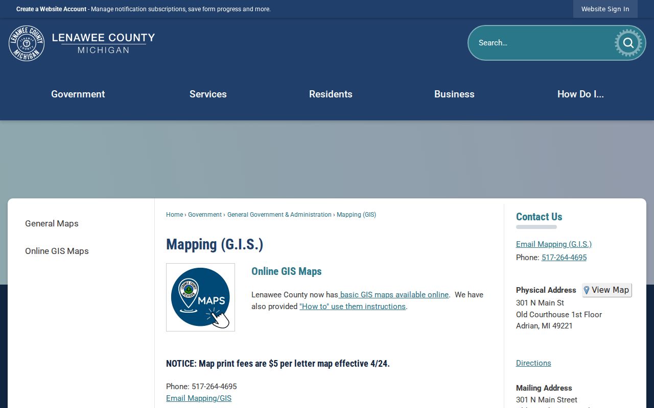
Use the county map to compare the standardized address with parcel and political-feature layers, while remembering that the county describes its map as a reference rather than a certified survey.
ZIP Search Paths in Adrian
A postal area is a starting filter, not a ready-made residents list. The county’s published BS&A and GIS instructions document address, owner, parcel, subdivision, and lot searching, but they do not document a live ZIP field. The Michigan QVF request form likewise lists government and election geographies rather than a postal selector. Search one standardized address at a time, or use a lawful jurisdiction or precinct request when the question is civic or historical. Do not describe an address result as proof of everyone who lives nearby.
- Run the full address through USPS and save the returned postal format with the date checked.
- Search that address in the county GIS page, capture the TaxID, and examine the parcel’s jurisdiction and surrounding map features.
- Use the Lenawee property-assessment route to search by address, owner, or parcel number, then record the tax year and each field label.
- When civic records are needed, use the official Michigan QVF route for the smallest documented geography and remove protected fields.
Once a ZIP narrows the area to a particular street, the full address chain belongs in the Adrian street directory. It follows parcel, deed, and historic address sources by street rather than treating a postal zone as a household roster.
Note: A return from a property record identifies the role shown by that record, not every current occupant at the address.
Adrian Parcel Search Fields
The county’s property route links to BS&A Online and accepts a parcel number, property address, or owner name in Last, First form. Its published search surface also lists utility billing, building-record, special-assessment, tax, and other record categories. Those categories describe different county or municipal records. A mailing address can name a tax agent, estate, trust, business, or out-of-area owner, so it should never be silently converted into a residence claim.
| County field | How to use it | Local caution |
|---|---|---|
| Address | Search a standardized situs address and try number or suffix variants. | Current public instructions do not show a ZIP filter. |
| Name | Use the county’s Last, First format. | An owner result is not automatically an occupant result. |
| Parcel Number | Use the exact TaxID, including punctuation or leading characters. | It is a stronger property key than a postal label. |
| Advanced Address Search | Use street address and street-number range controls where the portal exposes them. | Confirm live options before relying on a broad result set. |
The county advises saving the tax year and update context. Assessment and taxable value are distinct figures, and neither is automatically a sale price. For a recorded transfer, move from the parcel details to the Register of Deeds index and verify the legal description against the parcel instead of relying on a mailing line.
Adrian ZIP Codes and City Lines
Postal city, ZIP, municipal city, township, parcel jurisdiction, and county are separate labels. An address written as Adrian, Michigan 49221 can be inside City of Adrian or in a surrounding township that uses the same delivery area. The safe record note keeps the mailing city and ZIP as shown, identifies municipal jurisdiction as verified or unverified, records the parcel TaxID, and gives the source date. That method avoids assigning a city from a postal label alone.
- ZIP versus ZIP+4
- A ZIP identifies a delivery area. ZIP+4 adds a more specific delivery segment for that address or mail point.
- P.O. box ZIP
- A ZIP used for post-office-box delivery rather than a claim about the physical location of a person or parcel.
- Unique ZIP
- A ZIP assigned to one organization or institution. Research did not identify one for Adrian.
- Carrier route
- A postal delivery grouping. It is not a municipal boundary or a public resident roll.
Adrian GIS Map Context
The county GIS instructions identify TaxID, Address, Owner, Subdivision, and Lots as search fields. Matches appear while the user types, and a parcel click opens a layer-specific information section. To understand the immediate setting of a postal address, search it, zoom out, and inspect the mapped parcel shape, roads, political features, and other available layers. The county also documents Gallery and Maps filters for printable map versions.
GIS adds context that a ZIP code cannot supply. It can show whether the result falls on the city side of a boundary or in a different township, but it can lag after a transfer. The county says map accuracy depends on the maintaining unit and warns that its maps are not certified surveys. For a boundary-sensitive question, retain the map date and follow up with the appropriate municipal or county custodian.
Census QuickFacts reports 20,645 Adrian city residents in the 2020 Census and a July 1, 2025 estimate of 20,191, with about 8.01 square miles of land area. Those figures describe the city at stated dates, not a postal delivery area or a current headcount. They are a useful scale check: the compact city sits within a larger county records system, and an Adrian mailing line can still require a parcel-jurisdiction review before it is treated as a city record.
Historic Adrian Address Checks
Older Adrian addresses need a year as well as a postal label. The local house-research guide identifies an August 1916 Sanborn book with old and new street numbers, a useful bridge when an address seems to change between records. It also points to city and county directories, address cards, house abstracts, maps, and tax journals held through the Lenawee County Historical Museum. Those sources can connect a historic street reference to a present-day parcel, but they should not be treated as a current residents list.
The story continues in print. Adrian District Library describes its Daily Telegram Collection as running from 1893 to the present and notes other Adrian newspaper holdings back to 1849. A dated notice, obituary, sale announcement, or civic item can help place a household at an address for that moment. Search the Adrian District Library genealogy and local-history collection with a focused person, event, location, and date request, then keep the page or microfilm citation with the address variant. The same practice distinguishes a postal form from an earlier street reference.
Adrian ZIP Coverage Gaps
The current research supports one verified city ZIP and an address-by-address verification method. It does not support a detailed USPS narrative boundary map, a separate list of all non-city addresses served by 49221, a P.O. box-only segment, a unique institutional code, or a local ZIP realignment history. The Adrian ZIP code directory therefore avoids map-like claims that the available sources do not prove.
Repeat USPS verification whenever the address matters, especially when a record uses an old street number, an abbreviated suffix, a rural route, a unit, or a township name. Pair the result with GIS for jurisdiction and with the appropriate county record for the question at hand.
Note: Postal geography can change independently of city boundaries, so a dated address check is stronger than an undated ZIP assumption.